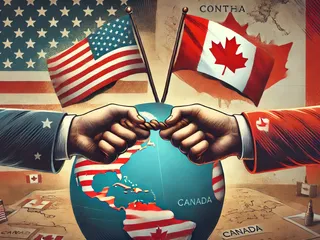
The northeastern borders of the United States share a unique and complex relationship with Canada, shaped by history, geography, and ongoing political and economic considerations. This region encompasses a significant portion of the US-Canada border, stretching across multiple states and involving various aspects of land, water, and maritime boundaries.
Geography and History:
The northeastern border is primarily defined by the natural boundaries of the St. Lawrence River and the Great Lakes, with further demarcation along various rivers and lakes. The border's history is intertwined with the colonial past, treaties between the US and Canada (previously Great Britain), and evolving geopolitical realities. The establishment of the 49th parallel as a significant portion of the boundary marks a key moment in shaping the border's trajectory.
States Involved:
- Maine
- New Hampshire
- Vermont
- New York
Current Issues:
Contemporary challenges facing the northeastern border include:
- Border Security: Balancing the need for secure borders with the facilitation of legitimate cross-border travel and trade.
- Environmental Concerns: Shared responsibility for managing resources and protecting the environment across the border, including issues related to water quality, wildlife conservation, and climate change.
- Economic Relations: The significance of cross-border trade and economic cooperation in maintaining a healthy relationship between the US and Canada.
- Indigenous Relations: Acknowledging and respecting the rights and perspectives of Indigenous communities whose territories span the border.
Further Research:
For more in-depth information, explore resources from organizations such as:


 (24)jpeg-1722421859875.jpeg.webp)


